LOOK AROUND STORRINGTON

ABOUT STORRINGTON
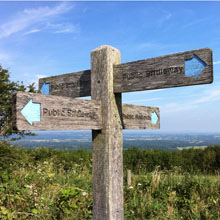
Storrington is a rural town in the Horsham District of West Sussex, England. The town is within the parish of Storrington and Sullington which lies on the northern edge of the South Downs. Half of the parish is within the South Downs National Park and Storrington is the closest town to the mid-point of the South Downs Way.
Storrington is an economic and social centre serving a number of surrounding villages including seven bordering parishes. It has a strong community with many voluntary organisations operating throughout the area.
The majority of the town centre is designated a conservation area. The main shopping street (The High Street) is on the A283 which runs through the middle of Storrington to Steyning in the east and Pulborough in the west. To see where Storrington is in relation to local towns and villages:
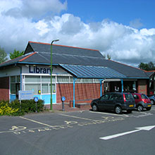
Storrington is a lively place with most of the facilities of a small town; a large recreation ground with football (soccer) and cricket pitches and a leisure centre. It has a wide variety of shops and businesses, one high street bank, a selection of pubs and restaurants, a regular community market, a museum, a post office and a library. The main supermarket is Waitrose.
On this site you can find information about all aspects of life for residents, visitors, businesses, and people working in the area. There are also opportunities for public consultation about improving life within the locality.